
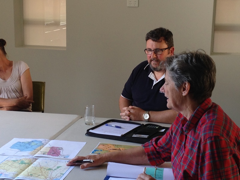
Our own Pam Bailey is leading the Maps, Signage and Publications component of the community plan. Last week, Pam invited Golden Plains Shire’s Mick Cosgriff to Dereel to discuss two new maps.
The first map is part of Golden Plains Shire map updates, and is not part of the community plan. This map is aimed at tourists and will show major roads and markers for points of interest.
The second map is specifically for locals, showing much more detail, is part of the community plan.
Discussion of both maps focused on the level of detail to be shown, and the boundaries of the map, given that Dereel is so spread out. There is a bit of time to refine both maps, so if you have a view about what should be on the Dereel map for the next five to ten year period, please contact Pam via Dereel Spokes: dereelspokes@gmail.com

Leave a comment